The ability to view real time and historical stream flow data is important when evaluating drafting source locations for ISO water supply consideration. The United States Geological Survey provides access to this type of data where USGS stream flow gauges are located. Not every stream has such a gauge, but the larger streams and rivers often do and the historical data might be able to be used to meet the 50-yr drought requirement under NFPA 1142/ISO when looking to "certify" water supply suction points.
To see the real time stream flow data for this USGS stream flow site in Clinton, CT - click on the link below and then click on the icon for the Clinton area (near the coast).
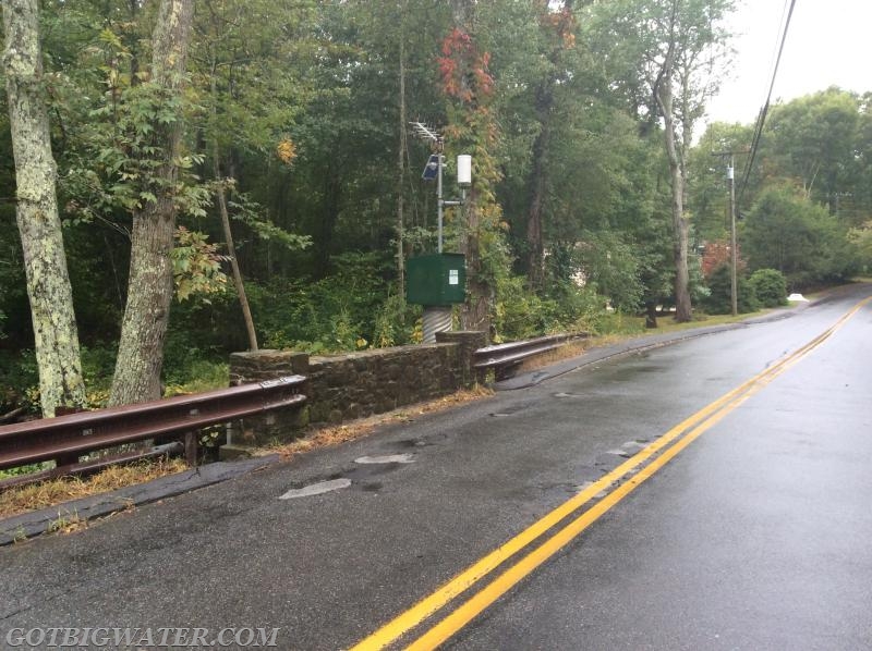
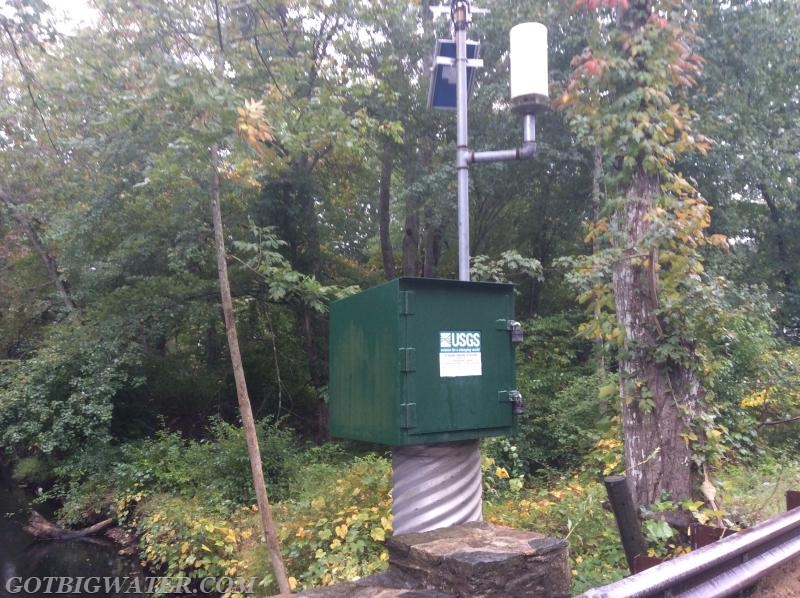
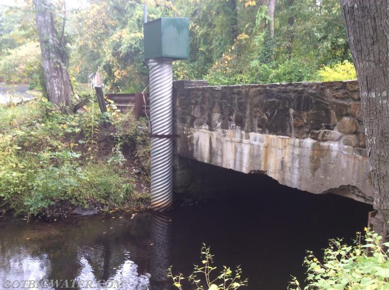
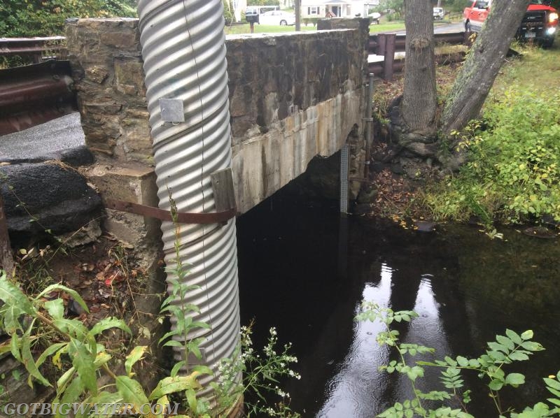
This USGS Streamflow Gauge located on the Indian River in Clinton, CT provides important data regarding flow. This type of data can be used when working to develop "certified" drafting locations using the guidelines set forth in NFPA 1142.
The streamflow gauge collects a large amount of data concerning flow conditions.